
ENC Release Strengthens Navigation, Trade To Calabar & Bakassi
By FRED LONGJOHN OBEH
Nigeria Expands Hydrographic Coverage in Eastern Waters
MARITIME traffic bound for Calabar Port and the proposed Bakassi Deep Seaport will now benefit from enhanced digital navigation following the release of newly validated Nigerian Electronic Nautical Charts. The charts mark a significant upgrade in the safety architecture of Nigeria’s eastern maritime approaches.
Produced by the National Hydrographic Agency, the three ENC cells provide comprehensive digital coverage of key waterways, incorporating updated seabed mapping, depth measurements and navigational hazards. The charts are compliant with international maritime safety standards and are now required for vessels operating in the area.
Reducing Risk, Supporting Port Development
The NHA says the new charts are designed to minimise navigational risks, particularly in busy port approaches, while supporting the operational needs of Calabar Port and the future Bakassi Deep Seaport. The survey data meets internationally recognised standards for high-traffic harbour entrances.
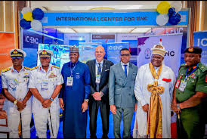
Rear Admiral Ayo Olugbode noted that accurate seabed mapping is essential not only for navigation but also for long-term marine resource management. He revealed that Nigeria has already mapped over 85,000 square kilometres of its maritime domain, with further expansion planned.
Regional Leadership and Global Alignment
Unveiled amid the 2025 World Hydrography Day and the inaugural West African Hydrographic Summit, the initiative reinforces Nigeria’s ambition to lead hydrographic development in the region. The project supports global efforts such as the UN Decade of Ocean Science and the Seabed 2030 Initiative, aligning national priorities with international ocean governance goals.
![]()